When you’re a kid from a working-class family growing up in Perth, driving 5 hours down south for your holidays was very special. The thought of walking there didn’t enter your consciousness. So when one day you do, you discover it is possible. The moment you climb over the first dune and witness the south coast, it is an exceptionally special and emotional moment. I will never forget.
There is a lot online about the Bibbulmun Track, this magnificent long-distance trail that we here in Perth called “The Bibb”. This is my brief perspective on how this hiking trail has affected me, along with some track info that I’m often asked about.
I grew up hearing about it as a teenager. I didn’t really know where it started, ended, or how long it was. I used to spend my time hiking around Jarrahdale and the beautiful Kittys Gorge Trail and camping at Gooralong Brook, which you can no longer do.
The Bibbulmun Track is 1000km (620 miles) long (approx), running between Kalamunda, a hill suburb east of Perth, and Albany on the south coast.
My first genuine exposure to the track was a visit to the Dwellingup Visitor Information Centre in July 2015. If you begin at Kalamunda, the track walks right through it, approximately day 12. Dwellingup is one of 11 towns the track passes through. When you complete an end-to-end, you are walking literally from one end to another. Another term you may hear is a “through-hike,” which they use in the US.
You have the option of stopping at a town having a zero-day, which is a rest day. This is time for a shower or two, to enjoy a lot of food, and to restock your pack with food. You can pick up your food box, which you posted ahead, or find something in the local supermarket or general store.
Towns vary from 4 to 8 days apart, depending on how far and fast you walk each day.
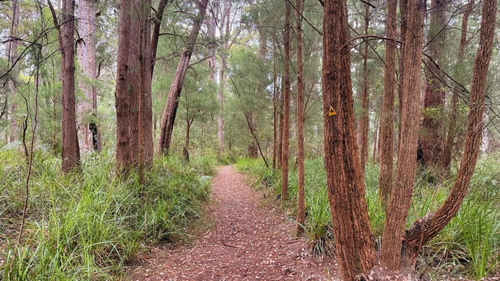
Many people will tell you that the first several weeks are all forest, which is really missing something. You can walk all day and move through a forest with an abundance of grass trees, and then 30 minutes later, ferns and palms surround you, and suddenly, it will change again. The track also passes through several plantations and private properties.
Walking an end-to-end
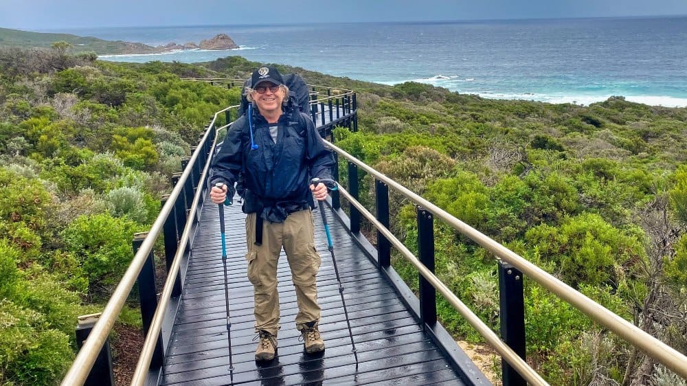
In June 2016, I completed my own solo end-to-end of the Bibb, which changed my life like nothing else.
The track takes a dramatic turn left at approximately the 800 km mark when it reaches the south coast, which is a huge achievement in itself. When you grow up in Perth, driving the five or so hours down south for your holidays is something you do. You never imagine walking there in a million years, so when you do, it can be spectacularly emotional.
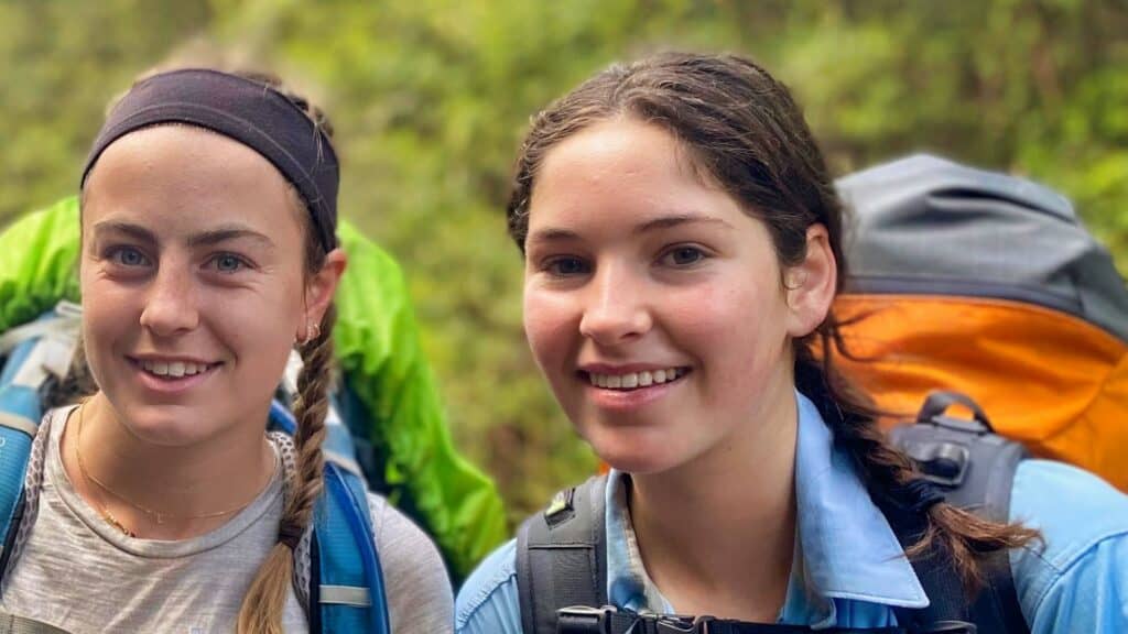
Since completing it, I have learned that while completing an end-to-end hike is incredible and life-changing, and I’d recommend it to anyone, spending a few days walking a section, or even a day, can be amazing and also life-changing. I see it every time I take someone out there.
World-renowned campsites
There are 49 campsites along the track with different-sized and designed shelters/open huts, which are mostly simply known as Bibb huts. They have three walls, so they offer enough protection from the elements while still allowing you to feel part of the beautiful environment that surrounds you.
You will also find one or two large rainwater tanks with rainwater that have not been treated, and it is recommended that you treat your water first. When I guide people, I allow them to make up their minds about whether to treat or not, but I have never treated the water. I once met three elderly gentlemen who have been walking the Bibb for many years, and they have never treated the water. You will learn 90% of what you need along the trail.
There are also drop toilets, campfire pits, and tent areas. There are total fire bans from December to March, and further south, no fires are allowed on the track at any time, which I missed as I love my campfires.
The Department of Biodiversity, Conservation and Attractions—Parks and Wildlife Service manages, maintains, and protects the track. However, a large number of maintenance volunteers, as directed by the Bibbulmun Track Foundation, keep the Bibb maintained, safe, and tidy.